As Above, Not Below
2017
A live and evolving data installation about the hidden militarisation of the air above us
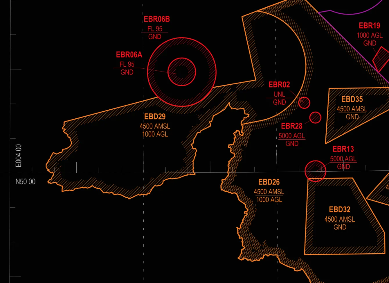
In this installation, live flight data is captured from antenna on the roof of the gallery and converted into visualisations on the gallery floor which map the interaction between passing air traffic and the zones of control that the military place on the sky as a form of statecraft.
The projected map shows which areas are no-go zones for aircraft, reserved for military use, communications, and training only, and how these invisible demarcations reframe the air above us as a form of state and military control over the environment.